VT 100 ACTIVE TRANSPORTATION CORRIDOR VISION

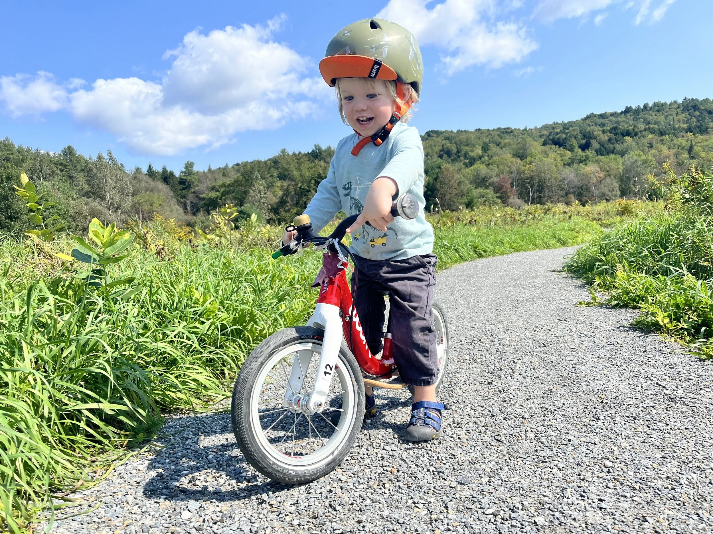
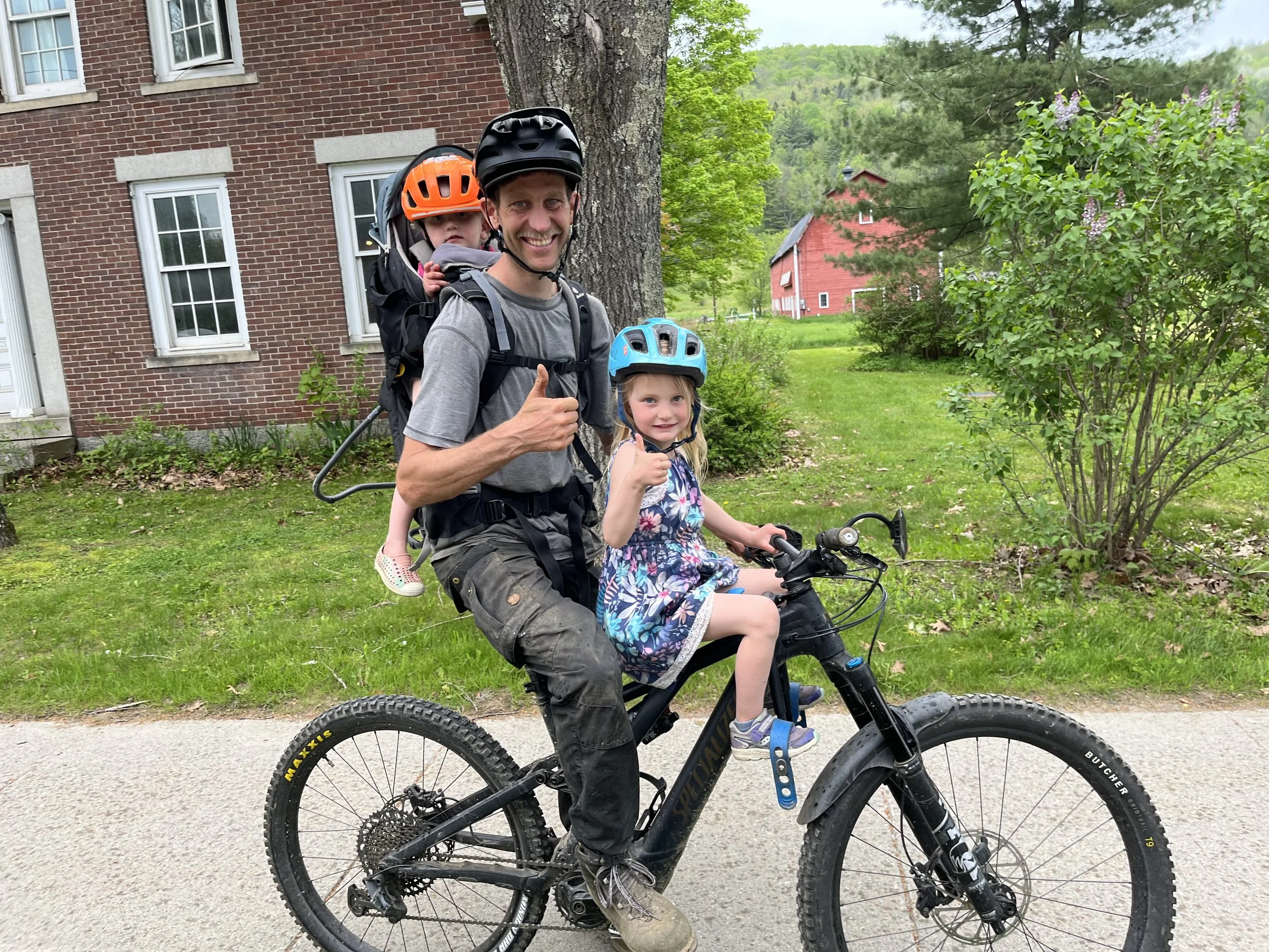
Imagine a brilliant October morning in the not-so-distant future. A wide and well-graded Path runs the length of the Valley. In some places, it parallels VT 100, and in others, it meanders through adjacent meadows. Along the Path, groups of children are riding scooters to school, a young parent is pushing a stroller, morning commuters are biking to work, an older couple is on their way to the grocery store on e-bikes, and a group of tourists is rolling their bikes to a rack in front of the trail-side farm stand.

This is the Mad River Path of the future, a VT100 Active Transportation Corridor extending from Warren to Moretown!

VT 100 Active Transportation Corridor Will:

- Connect Warren to Moretown with a multi-use path traveling parallel with, but separated from, VT 100 within the state right-of-way. 

- Improve pedestrian and bicycling safety and serve as a backbone of the recreational economy providing a multi-jurisdictional path for a variety of commuter and recreational transportation needs.

- Provide inclusive and accessible alternatives to vehicle travel, in a decisive action towards reducing the Mad River Valley’s carbon footprint and access to services for those who can’t afford, choose not to, or are unable to use cars. 

- Become the spine of the MRV trail network, connecting Mad River Path and Mad River Riders trails, and STEWARD MRV-managed recreational sites.

- Connect to state-wide trail networks, including the Velomont and Cross Vermont Trails.

- Collocate with VT 100 alternative fuel corridor

- Enhance the Mad River Valley’s recreation assets and implement a primary Major Off-Road Connection as detailed in the 2016 MRV Moves Active Transportation Plan’s Future Opportunities Map.

VT 100 CORRIDOR will improve the well-being of all and infuse the Mad River Valley with new energy for cooperation within and between our communities!

IMPLEMENTING THE VISION

Phase I: Coalition of Support | 2023

We are building a broad coalition of support. Our partners include Selectboards, Planning Commissions, Conservation Commissions, non-profit, local conservation and trail organizations, businesses, and landowners. We are working alongside the Mad River Valley Planning District and Central Vermont Regional Planning Commission. We are partnering with VTrans, Velomont, and Cross Vermont Trail.

Phase II: Scoping Study | 2024-2025

In December of 2023, we worked with our partners to apply for funding to undertake a scoping study, administered by VTrans Transportation Alternatives Program. In April 2024 we received an $84K grant for an engineering study of the proposed path. The study will likely break the project into sections, identifying priorities, opportunities, and challenges. It will also solicit and take into consideration public input.

Phase III: Project Implementation | 2025+

Following the successful scoping study, our municipal partners will become eligible to apply for final design and construction funding through VTrans’ Bicycle & Pedestrian Program and Transportation Alternatives Program. The funding will come from the Federal transportation budget and will require a 20% local match. We will likely need to break the project into several sections. Each section will have its own “independent utility” (making it useful even if the rest of the path is not yet completed). While it will take years to complete the entire path, we can see the first sections coming together by 2027!


PROJECT UPDATES

  • Fall 2023: Warren, Waitsfield and Moretown approved local funding for the scoping study.

  • December 2023: The Central Vermont Regional Planning Commission (CVRPC), Mad River Path, and MRVPD submitted an application to the VTrans Transportation Alternatives (TAP) Program for funding to assess the feasibility of a multi-use path along the VT Route 100 & 100-B right-of-way from downtown Warren to the intersection of VT-100 B and Hooper Ln. in Moretown.

  • April 2024: The Central Vermont Regional Planning Commission (CVRPC), Mad River Path, and MRVPD receive an $84K Scoping Study Grant.

  • April 2024: Mad River Path signs a Trail Partner Agreement with Velomont Trail

  • June 2024: The committee has chosen VHB as our scoping study partner.

  • August 2024: The Corridor Advisory Committee has been created with the representation from four valley towns. The first committee meeting and the study kick-off meeting are scheduled for early September

  • September 2024: The first Advisory Committee Meeting, a project Kick off, and a day in the field with VHB

  • November 2024: The first Corridor Public Meeting is 6 PM on Wednesday, November 13


FREQUENTLY ASKED QUESTIONS:

How much will it cost?

According to the latest figures from VTrans, a 10-foot-wide path is expected to cost $342 per foot. Using this calculation, a 10-mile path connecting Warren and Moretown totals $18.5 million.

Will the proposed VT 100 Multi-Use Path affect property values?

Recent research has confirmed that living near trails and greenways will likely raise property values an average of 3-5% and sometimes even as high as 15%. 

How wide is the State Right-of-Way (ROW)?

The ROW varies along the VT 100, it is generally 100’-wide in Warren and 50’ wide in Waitsfield and Moretown.

Can landowners be compensated?

The scoping study assesses and appraises the impact of right-of-way improvements and determines compensation values to affected landowners.

Will the proposed VT 100 Multi-Use Path follow sections of the existing Mad River Path?

In most places, the proposed multi-use path will run along VT 100. The majority of the existing Mad River Path will continue as minimally improved trails in natural settings. Some sections may align with the new path and may be widened and surfaced. The scoping study will recommend a path alignment that balances a multitude of objectives.

Will the path be paved?

The path may be paved or aggregate (gravel) surfaced. The scoping study will determine the best path surface. The primary goal of the hard surface is accessibility by all, regardless of their physical ability.

Will the path be vulnerable to washouts and will it increase flooding in the valley?

The path will be designed to improve the valley’s overall flood resilience. A key objective of the project is to avoid constriction and encroachment of the Mad River.